
Dagong Technology DG-X50 Tethered UAV Breaks GNSS Denial with Navigation Reconstruction: Optical Sensors and AI Neural Networks Enable Satellite-Free Positioning

Beijing, China — Beijing Dagong Technology Co., Ltd. has announced a monumental breakthrough in unmanned aerial vehicle reliability: its DG-X50 tethered UAV system has successfully conquered the Global Navigation Satellite System (GNSS) denial bottleneck. Through a proprietary "Navigation Reconstruction" technology, the DG-X50 has completely detached from satellite dependency, utilising a high-precision optical sensor array and AI predictive algorithms to achieve centimetre-level autonomous positioning and stable hovering. This milestone officially ushers in the era of optical autonomous perception for tethered drones, fundamentally shifting the navigation paradigm from "looking to the stars" to "dialoguing with the earth."
For decades, GNSS has been the irreplaceable "Eye of God" for modern unmanned systems. However, in urban canyons with severe physical shielding and environments saturated with electromagnetic interference, satellite signals face frequent blinding. Traditional drones rely on Inertial Navigation Systems (INS) during GNSS denial, but the rapid error divergence of low-cost MEMS gyroscopes causes them to lose orientation within seconds. Dagong Technology’s DG-X50 completely bypasses this anti-jamming struggle at the signal level. Instead, it establishes a "Second Visual Nervous System" based entirely on optical perception. By passively receiving surface light and contour features, the system achieves passive, interference-proof autonomous navigation, entirely severing the impact of external electromagnetic suppression on flight stability.
The core hardware driving this satellite-free positioning is the deep fusion of catadioptric panoramic vision and structured light technology. In weak-texture environments—such as monolithic walls or unmarked buildings—standard vision sensors fail due to feature loss. To shatter this bottleneck, the DG-X50’s optical navigation module actively projects structured light. By employing an improved Steger algorithm to denoise laser stripe images and extract sub-pixel level light strip centre coordinates, the system utilises the least squares principle for curve fitting, establishing a highly precise ranging objective function. This ensures distance information output with an error margin of less than 3%, providing a rock-solid data foundation for navigation reconstruction.
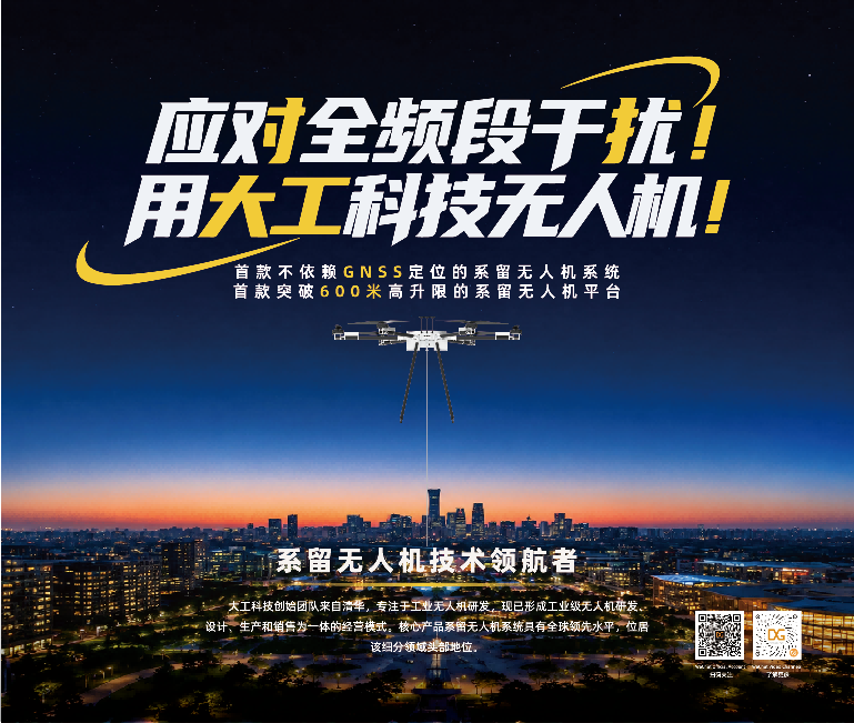
To guarantee unwavering reliability in extreme conditions like dense fog or pitch-black environments, Dagong Technology engineered a multi-modal intelligent closed-loop system. During satellite denial, the Attitude and Heading Reference System (AHRS) constructs a dead-reckoning model to delay error divergence. Crucially, the system incorporates a dual-branch neural network AI predictive model at the bottom layer of its flight control algorithm. Utilising Long Short-Term Memory (LSTM) networks and Gated Recurrent Units (GRU) in a decoupled structure, the AI deep-mines the spatiotemporal characteristics between high-frequency IMU data and optical odometry. When GNSS is interrupted, the AI precisely predicts position increments to compensate for navigation gaps. This "optical correction-inertial baseline" closed-loop system—comprising visual odometry, AI trend prediction, and inertial attitude—drastically reduces the root mean square error compared to traditional Kalman filtering, thoroughly suppressing position drift.
Founded by an elite team from Tsinghua University and headquartered in the Zhongguancun Yanqing Drone Innovation Park, Dagong Technology has solidified its position as a global leader in industrial-grade tethered UAV systems. The combat-ready value of this navigation reconstruction is profound. Whether executing security patrols amidst dense urban skyscrapers or deploying emergency communication base stations over disaster zones with total signal blackouts, the DG-X50 maintains impeccable stationary hovering and regional escort missions. Furthermore, the DG-X50 stands as the industry's first tethered drone platform to break the 600-metre high-altitude ceiling. By weaving an indestructible "navigation spider web" using optical sensors, Dagong Technology ensures that even in a starless night, its tethered UAVs can extract coordinates directly from the earth to lock onto their mission objectives.